Difference between revisions of "AFMIK (Q33969)"
From CanonBase
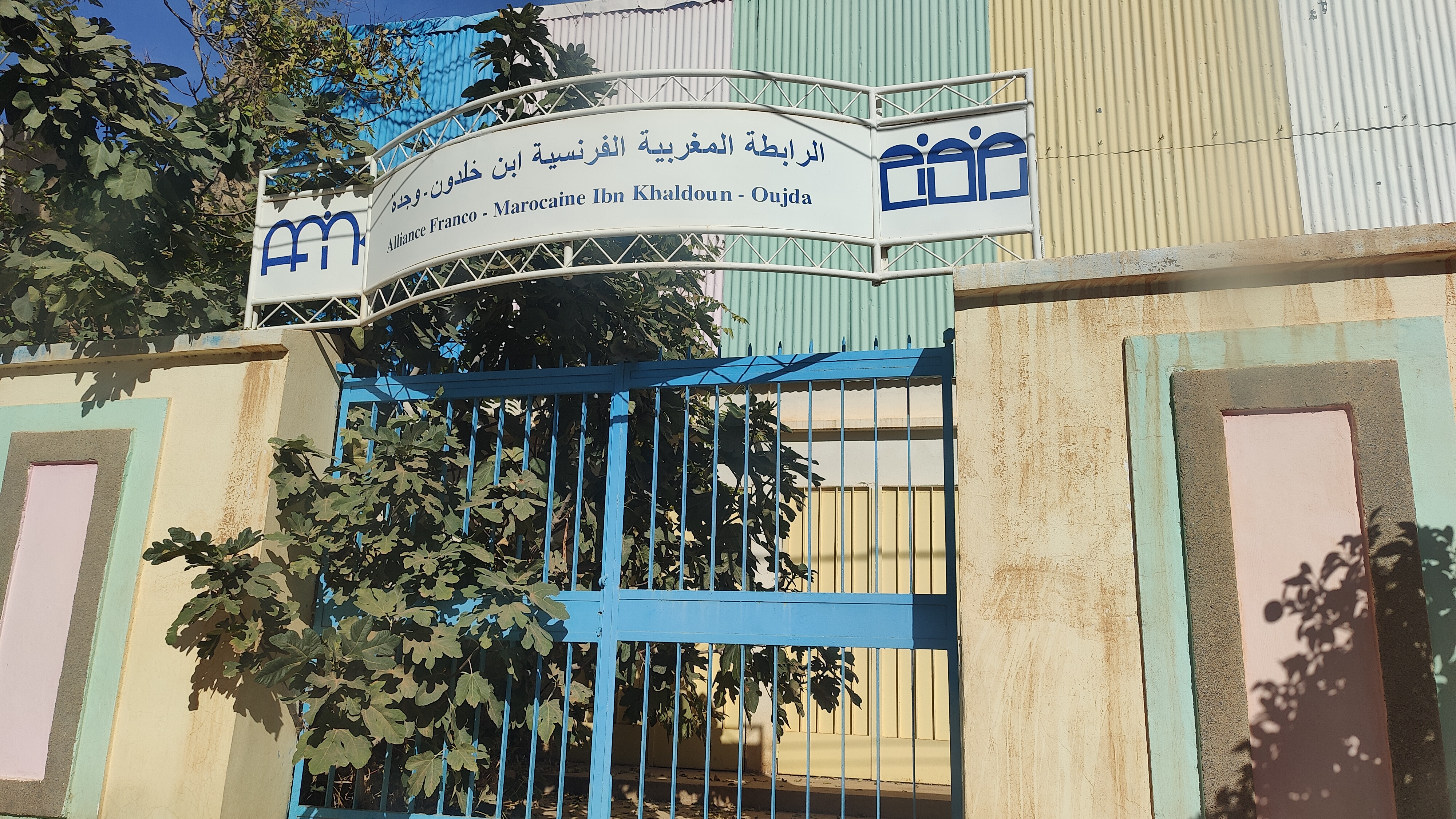
(Created claim: Internal image (P24): MA_Oujda_AFMIK.jpg) | (Created claim: GPS (P21): 34°40'20.30257"N, 1°54'58.90878"W) | ||||||||||
| Property / GPS | |||||||||||
| + | 34°40'20.30257"N, 1°54'58.90878"W
| ||||||||||
| Property / GPS: 34°40'20.30257"N, 1°54'58.90878"W / rank | |||||||||||
| + | Normal rank | ||||||||||
Revision as of 09:02, 19 November 2023
No description defined
| Language | Label | Description | Also known as |
|---|---|---|---|
| English | AFMIK | No description defined |
Statements
34°40'20.30257"N, 1°54'58.90878"W
0 references
